Satellite images now show the scale of damage from Patagonia’s beaver invasion
Decades after 20 beavers were introduced to Patagonia, satellite imagery reveals thousands of dams and altered waterways spread across Tierra del Fuego and nearby islands.
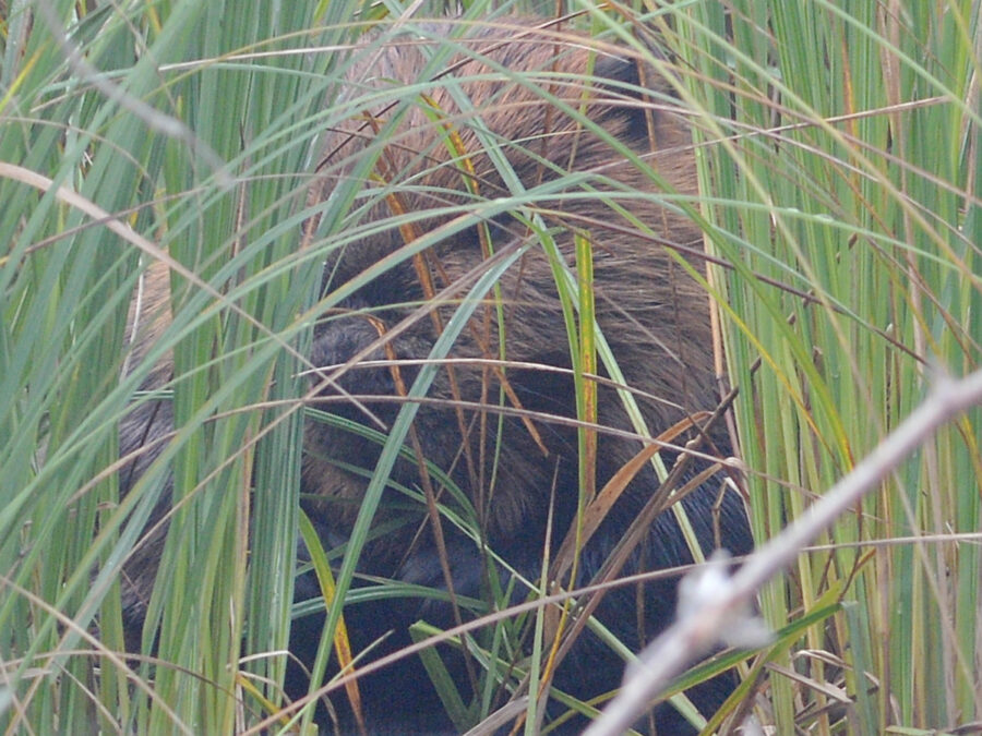
Satellite imagery and aerial surveys now reveal the extent of a problem that began with just 20 animals nearly 80 years ago. Beaver dams have spread across Tierra del Fuego and nearby islands in Patagonia, transforming waterways and forests in ways that researchers say are visible from space.
The introduction dates back to 1946, when Argentine authorities released 20 North American beavers imported from northern Manitoba, Canada, hoping to establish a fur industry in the region. With abundant food, suitable habitat, and no natural predators, the beavers multiplied rapidly. Scientists now estimate the population numbers in the tens of thousands, spread across both Argentina and Chile.
Each dam backs up water, floods surrounding forests, and creates wetlands where even mature trees can die. Once abandoned, several of these ponds do not return to their previous forested condition, instead becoming meadows or permanently altered wetlands that change river flow, soil conditions, and habitats for other species. Researchers estimate millions of native Nothofagus trees have been affected over decades of beaver activity, since the species never evolved alongside dam-building beavers and is poorly adapted to repeated flooding.
Argentina and Chile have signed a binational agreement to coordinate beaver management and ultimately pursue eradication across Tierra del Fuego, with conservationists saying removing the invasive population offers the best chance of protecting the region’s unique temperate forests. The task, however, is expected to take many years given the animals’ widespread distribution and continuous breeding.



Leave a Reply